Discoveries
Three postcards after the Ashland flood
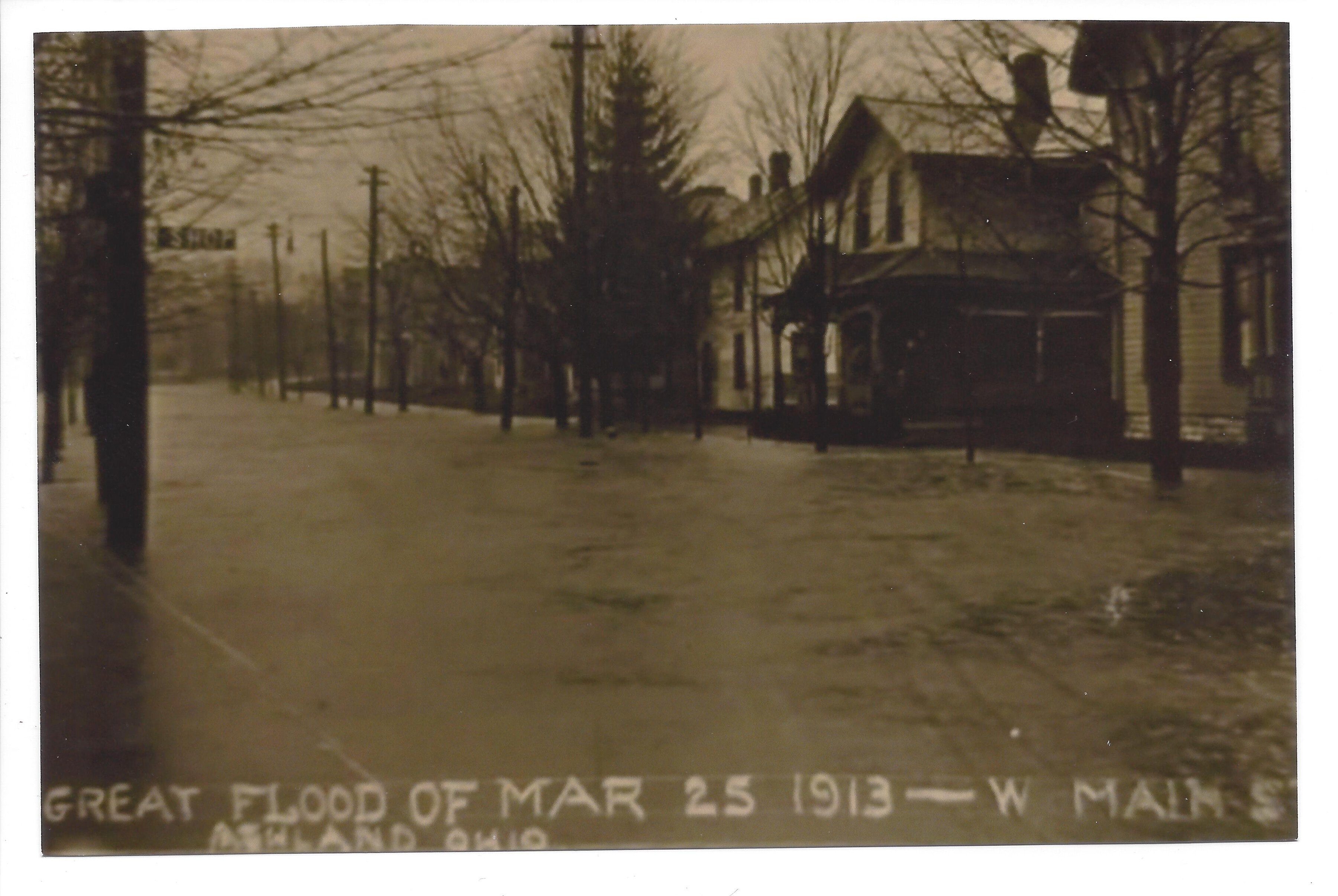
In March 1913, floodwater filled West Main Street. Three photographic postcards preserve the flooded street and the work of clearing wreckage at Arthur Street Bridge.
Inspect larger scan
Scroll within the image to read the details. You can also open the full scan and use your browser’s zoom.
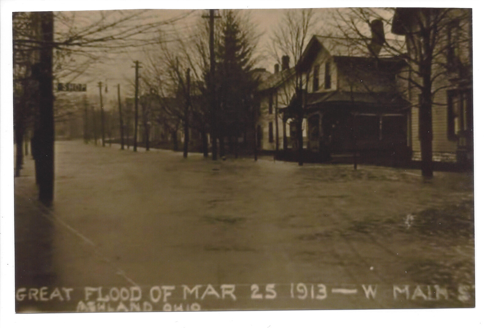
A street under water.
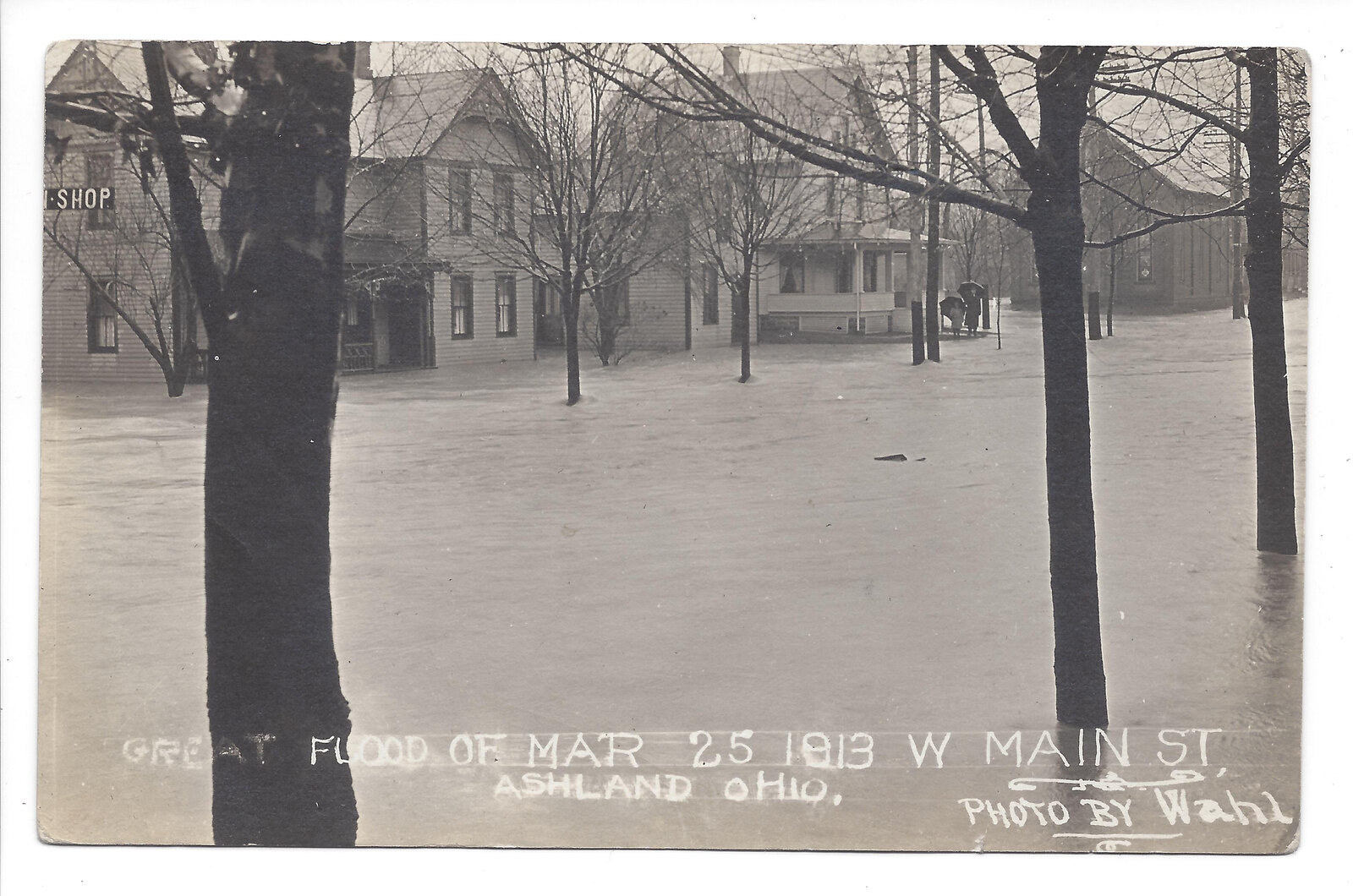
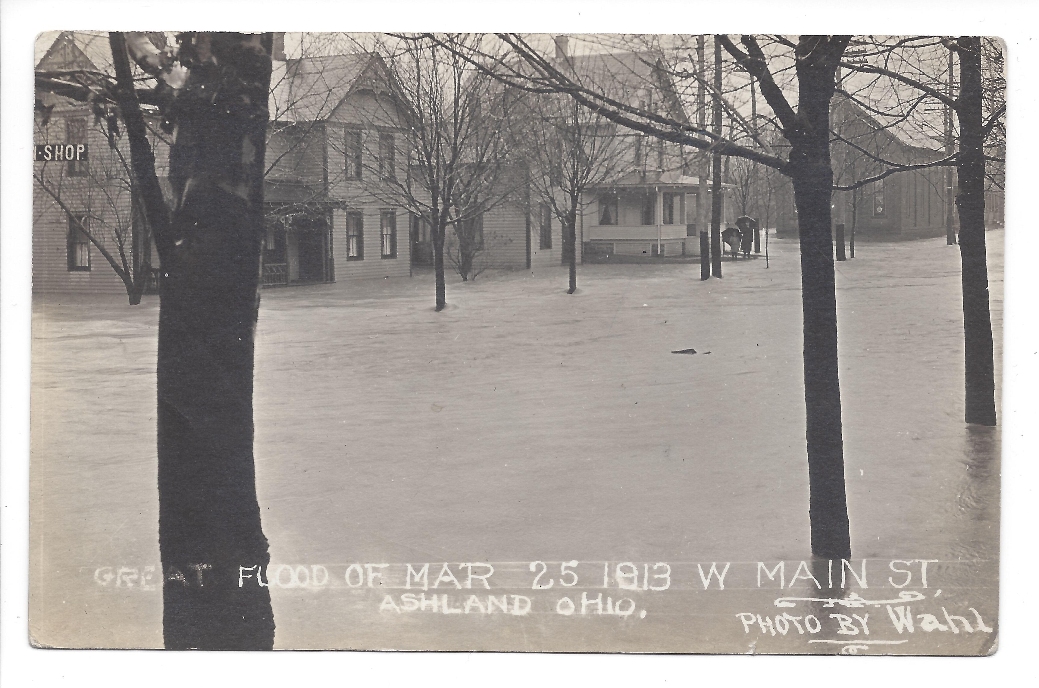
Water surrounds buildings and bare trees on West Main Street. The photograph’s caption places this scene in Ashland’s March 25, 1913 flood.
Heavy rain was falling across a much wider region. The Midwestern Regional Climate Center describes successive weather systems and a stalled front bringing rain across the Ohio Valley and Northeast during March 23–27. In his contemporary 1913 account, Thomas W. Lewis reported 5.96 inches of rain at Ashland in the 24 hours ending on the evening of March 24.
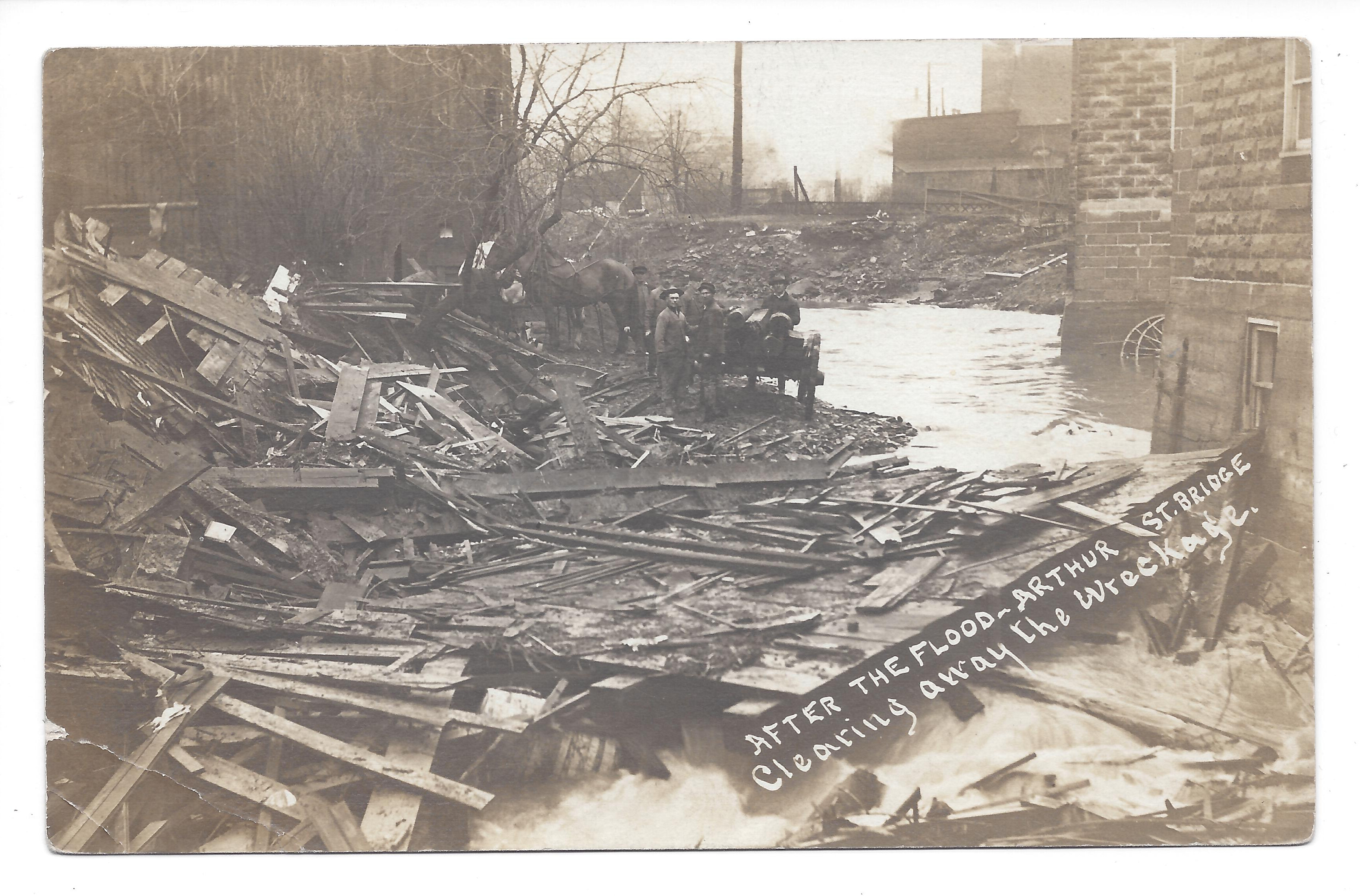
Clearing the wreckage at Arthur Street Bridge.
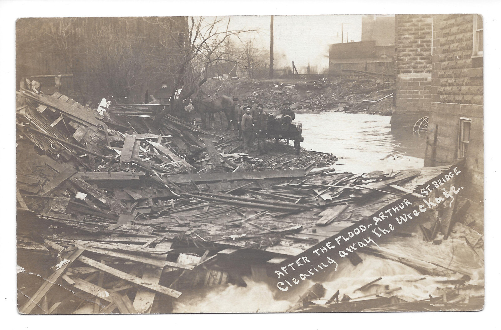
People, horses and a cart stand among debris beside the water. The printed caption names the task: “After the flood—Arthur St. Bridge—Clearing away the wreckage.”
Where the West Main Street cards show floodwater, this photograph shows the work that followed. It gives the group of cards a second scene: the aftermath at a bridge.
Inspect larger scan
Scroll within the image to read the details. You can also open the full scan and use your browser’s zoom.
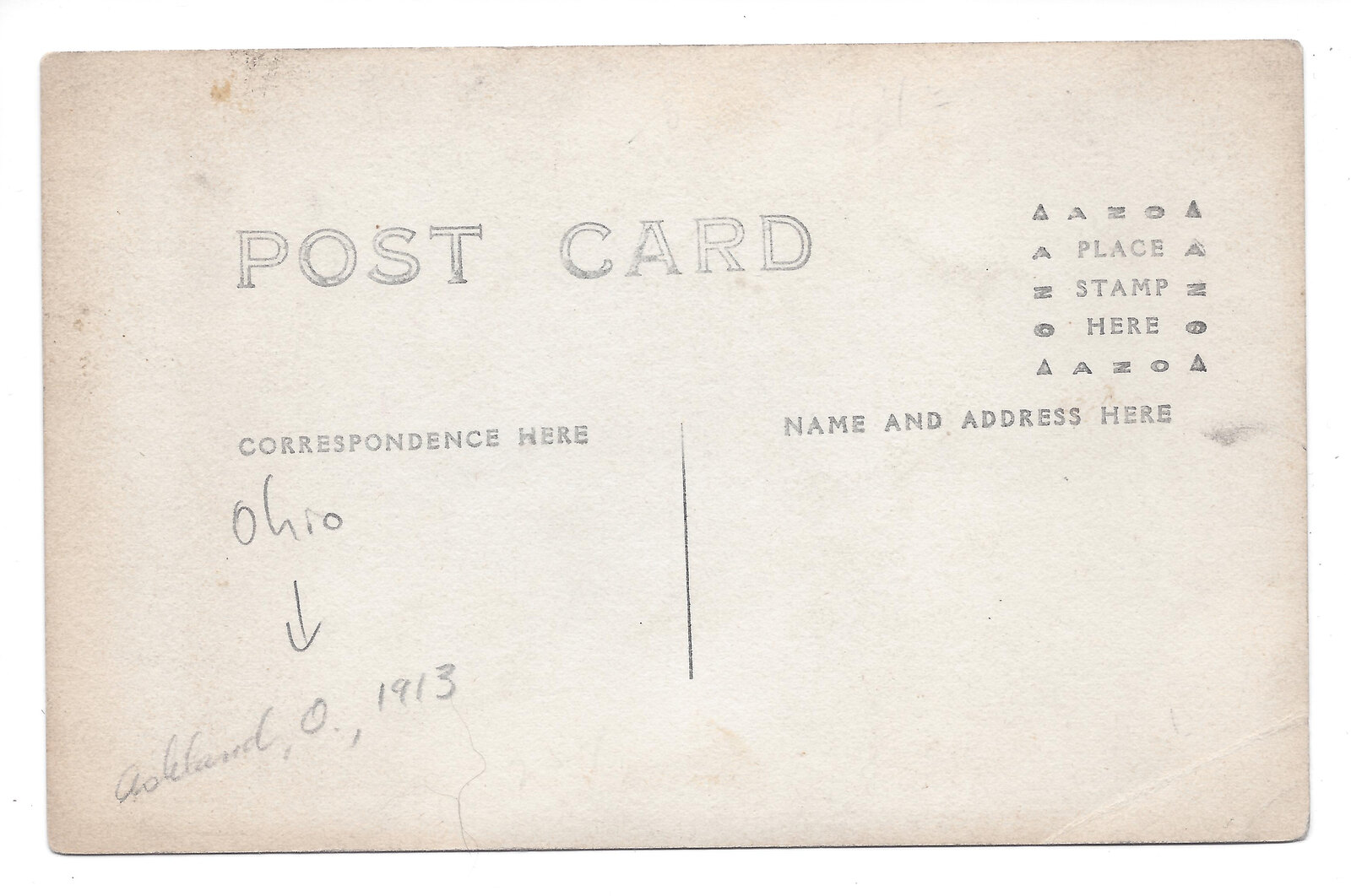
A small note on the back.
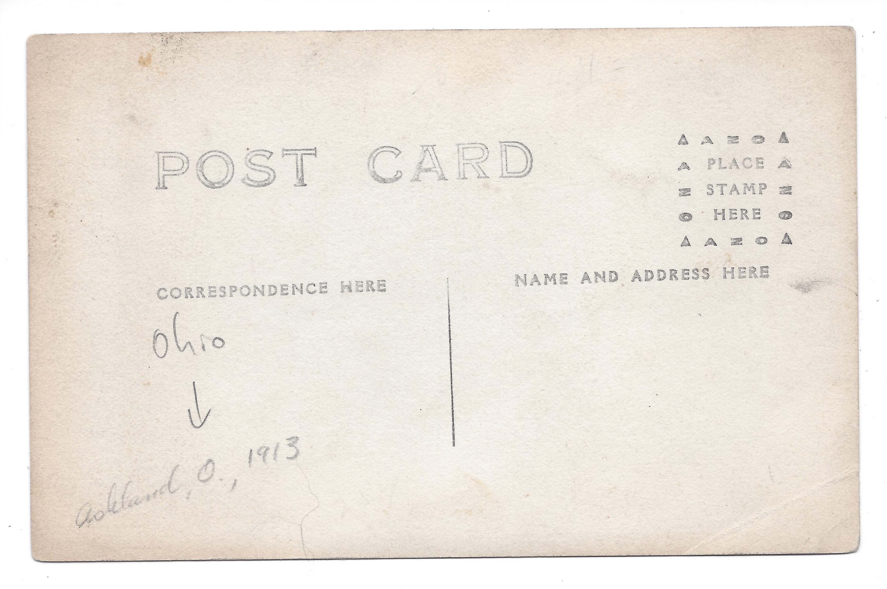
A pencil annotation on the reverse reads “Ashland, O., 1913.” The rest of the back is largely blank. The scan preserves this small addition alongside the printed image.
Inspect larger scan
Scroll within the image to read the details. You can also open the full scan and use your browser’s zoom.
Another view of West Main Street.
A second photograph returns us to the flooded street, with buildings and trees rising above the water. Its own caption also names the great flood of March 25, 1913. The two cards let us look at the street through more than one surviving image.
Inspect larger scan
Scroll within the image to read the details. You can also open the full scan and use your browser’s zoom.
Three small records of a city’s flood.
Together, the cards preserve two parts of the story: water on a city street and the work of clearing wreckage. Open the larger scans to explore the photographs, lettering and handwritten note.
Follow the evidence
Sources & further reading
- Owner’s PastView collection, photographic postcards 0080, 0081 and 0082
Original scans and visible captions inspected. Cards 0080 and 0082 print March 25, 1913; this does not establish an exposure time. Card 0081’s exact day and the author of its pencil note are unknown. Wahl’s full identity is unconfirmed. A photograph does not supply a measured water depth, damage total, local fatality count or evidence of school damage; none is claimed here.
- Thomas W. Lewis, Zanesville in the Flood of 1913 (A. E. Starr, 1913), printed p. 16 / digital p. 27
Contemporary reported Ashland rainfall figure, attributed to Lewis rather than presented as a modern remeasurement. Zanesville damage descriptions are not applied to Ashland.
- Midwestern Regional Climate Center: March 1913 weather overview
Regional weather context, not individual postcard capture dates.
- Midwestern Regional Climate Center: rainfall and hydrology
Regional context is kept separate from the local visual evidence.